Strong Southern Peru Quake Felt in Lima
Bastillepost · 2 SOURCESabout 1 hour ago2 MIN
Summary
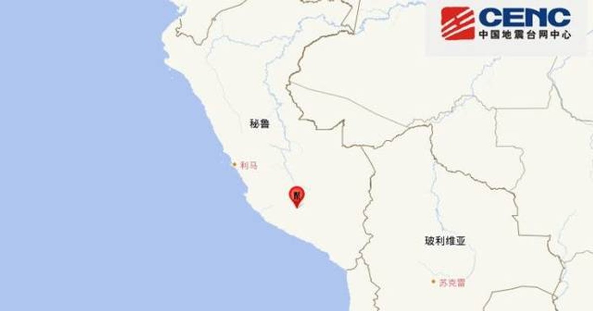
A strong earthquake struck southern Peru at about 1pm local time on Thursday, with tremors felt in several southern regions as well as the capital, Lima.
Peruvian authorities said the quake measured 7.2, while the United States Geological Survey and China Earthquake Networks Center put it at 6.7.
The Peruvian Geophysical Institute said the epicentre was 35 kilometres north of Coracora in Ayacucho province, at a depth of 108 kilometres, while China’s network measured the depth at 100 kilometres.
Initial reports differed on the impact, with one account saying there were no immediate reports of casualties or property losses, while another said two people were injured and damage was recorded to homes, medical centres and a school.
Key Points
- The earthquake occurred around 1pm local time on Thursday in southern Peru, and shaking was felt in multiple southern areas and in Lima.
- Peru’s authorities assessed the quake at magnitude 7.2, while the US Geological Survey and China Earthquake Networks Center measured it at 6.7.
- The Peruvian Geophysical Institute located the epicentre 35 kilometres north of Coracora in Ayacucho province, with a focal depth of 108 kilometres.
- China’s earthquake monitoring network reported a depth of 100 kilometres, showing a slight difference from Peru’s own geophysical assessment.
- In Coracora’s mountainous area, rockfalls were reported and two residents were injured while evacuating; more than 20 homes, six medical centres and one school were damaged.
Why It Matters
For Hong Kong readers, the differing early casualty and damage reports show how information after a major quake can change quickly as local assessments come in.
The event is also a reminder that Peru sits on the Pacific Ring of Fire, where powerful earthquakes are recurrent and can still disrupt communities even when the epicentre is deep underground.