Observatory Monitors Potential Low-Pressure System in South China Sea
HK01 · 1 SOURCESabout 1 hour ago2 MIN
Summary
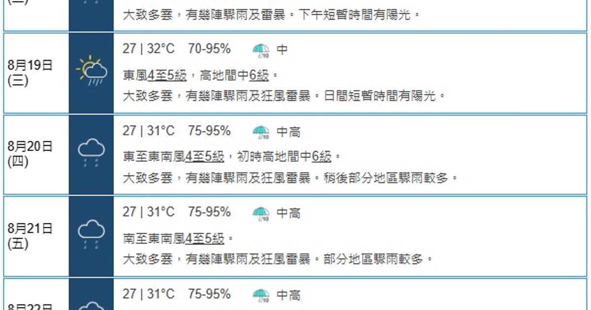
The Hong Kong Observatory has warned that a broad low-pressure trough will gradually approach the Guangdong coast mid-to-late next week, with a potential low-pressure area expected to develop over the northern South China Sea . AI weather models unanimously predict the system's formation next week, though they differ on its exact location and intensity . Notably, wind direction is forecast to shift dramatically from the prevailing southwest monsoon to northeast winds around August 18, a rare occurrence during Hong Kong's summer months .
Key Points
- A broad low-pressure trough will affect the northern South China Sea and waters east of Taiwan, gradually moving toward Guangdong's coast
- The potential low-pressure area may develop into a tropical cyclone if conditions such as weak vertical wind shear and upper-level divergence align
- Wind direction on August 18 is forecast to change from west-southwest to east-northeast, with sustained northeast winds of 3-4 levels, reaching level 5 offshore
- According to the "Watermelon Ball Theory," the system would pass south of Hong Kong and move westward toward western Guangdong or Hainan Island
- AI models including AIFS, Pangu, Fuxi, and Fengwu all predict the low-pressure area's formation next week, though with varying trajectories and intensities
Why It Matters
Hong Kong typically experiences warm, humid southwest monsoon winds during summer; the sudden shift to northeast winds around August 18 signals potential tropical cyclone influence . If two competing low-pressure systems develop simultaneously in the South China Sea and East China Sea, their interaction could significantly alter the weaker system's path and intensity, adding considerable uncertainty to the weather forecast for southern China .
Hong Kong typically experiences warm, humid southwest monsoon winds during summer; the sudden shift to northeast winds around August 18 signals potential tropical cyclone influence . If two competing low-pressure systems develop simultaneously in the South China Sea and East China Sea, their interaction could significantly alter the weaker system's path and intensity, adding considerable uncertainty to the weather forecast for southern China .