HKUST satellite data aids disaster response in GBA
SingTao · 1 SOURCESabout 1 hour ago2 MIN
Summary
Hong Kong University of Science and Technology’s Xiongbin-1, the first satellite led by a Hong Kong university, has remained in stable orbit since its launch in August 2023 and has accumulated high-quality multispectral imagery covering the Greater Bay Area for environmental monitoring and disaster forecasting. During a media tour in Hainan, satellite and launch-site executives said they hope to deepen cooperation with Hong Kong universities and research institutions, while also using Hong Kong to reach overseas customers
Key Points
- Xiongbin-1 was jointly developed by HKUST and Chang Guang Satellite, and company official Xu Ningyang said it has operated steadily in orbit since launch
- Xu said the satellite can quickly capture post-disaster images after typhoons and heavy rain, helping assess affected areas and estimate losses in the Greater Bay Area
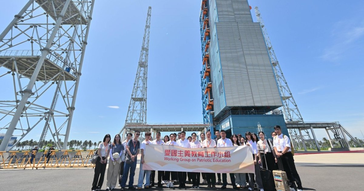
- The media delegation, led by patriotic education task group head Chan Ching-ha, visited Hainan Chang Guang Satellite and the Hainan Commercial Space Launch Site
- Xu described state-led aerospace as the anchor of major national missions, while commercial aerospace is a market-driven growth force focused on scalable applications
- Hainan launch-site official Xu Xikai said provincial leaders visited Hong Kong last year and hope to work with local universities, researchers and overseas clients through the city
Why It Matters
For Hong Kong, the project links local university research with mainland satellite manufacturing, launch services and supercomputing, creating a clearer pathway from laboratory work to commercial application. It also positions the city as a potential platform for financing, international outreach and data-service exports tied to China’s commercial space sector